Data Distribution
The ESRGC has multiple datasets available for public distribution. Statewide LiDAR derivative products and point cloud data are available for Maryland while other regional datasets vary by area.
For questions about data distribution, please contact us at: esrgcData@salisbury.edu

ArcGIS REST Services: Flooding & Sea Level Change
ArcGIS REST Services: Imagery
ArcGIS REST Services: Lower Shore LiDAR
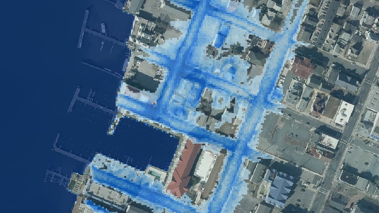
Sea Level Change, Nuisance Flooding, and Hurricane Scenarios

Delmarva Index
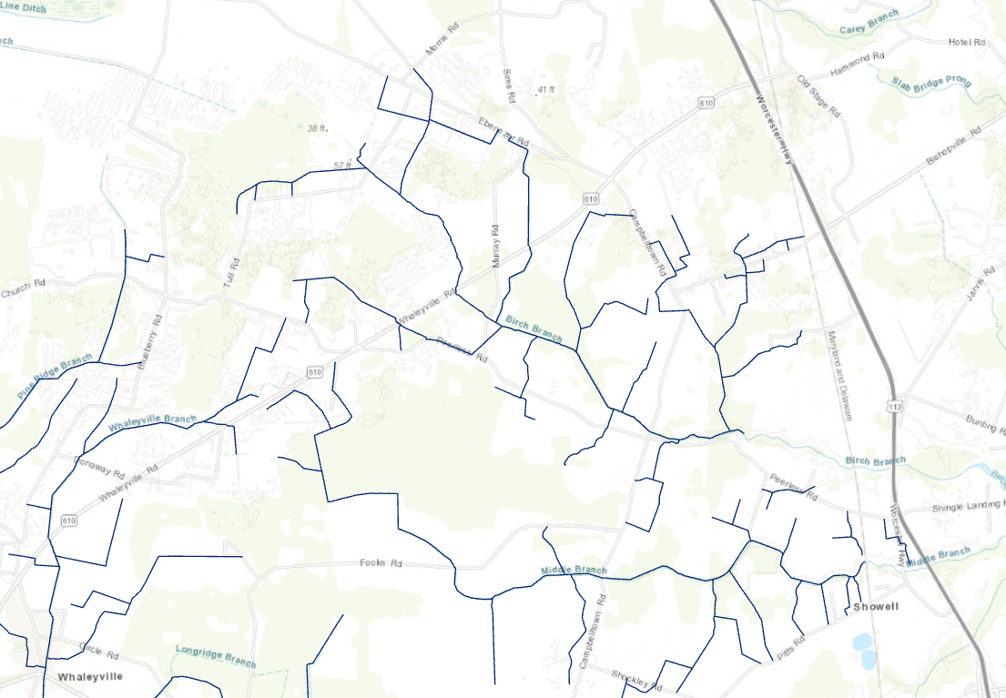
Tax Ditches and PDAs

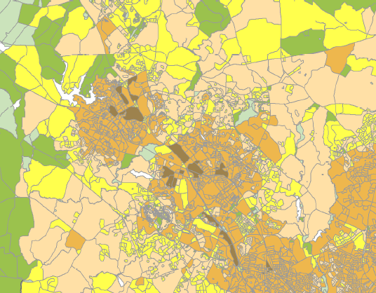
Legislative and Congressional District Maps (2022)
Broadband Maps