Legislative and Congressional District Maps (2022)
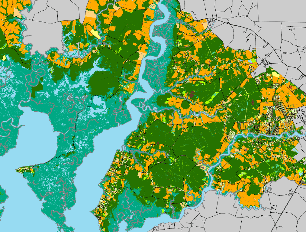
To better inform Maryland's state delegates and senators about the land use issues in their district as well as to provide them with a useful reference map to use during discussions with constituents, the ESRGC has completed a project to create a large format map of land use for each 2022 state legislative and congressional districts in Maryland. These maps were given as gifts to the senators and delegates in January 2023, with the compliments of Salisbury University, the MidShore Regional Council, the Tri-County Council of the Lower Eastern Shore of Maryland, and the Upper Shore Regional Council.
The maps have a dimension of 24 " x 36 ", and are in .pdf file format. Adobe Acrobat Reader is required to view and print these maps. If you do not have Acrobat Reader, you can download it for free at www.adobe.com. Although the size of these files are larger than most printers can print, they can be printed in the standard size of 8.5" x 11" by selecting the "Fit to Paper" option under the "Page Scaling" drop-down menu.
To order a Legislative or Congressional District map in its full printed size (24" x 36"), please contact the ESRGC at esrgc@salisbury.edu. Include in the email what district(s) you are requesting, whether its Legislative or Congressional, and the quantity. The prices for printed maps are: $35 each or $55 if laminated, plus $9.95 shipping and handling up to 5 maps (allow 5-7 business days).
*56k Warning: The size of the District maps are voluminous and may require a high-speed internet connection to download and view.
The source of the data contained within these maps was provided by the Maryland Department of Planning and the Maryland State Highway Administration.
Legislative Districts

Senatorial Districts
