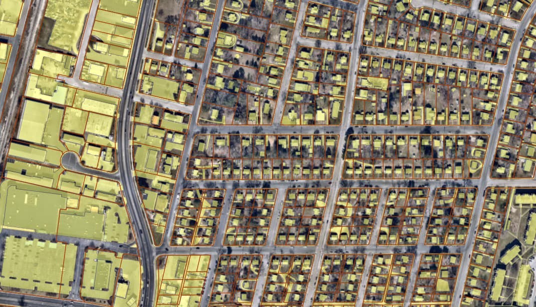
City of Salisbury Impervious Surface
An update of the City of Salisbury's impervious surface layer using latest 2019 imagery available. Impervious surface digitization includes attribution of features and calculation of total impervious surface per parcel. Stormwater fees were calculated based on the zoning and total amount of impervious surface per parcel. Analysis for condominium parcels includes the application of shared impervious surface areas equally to individual condominium parcels.
Date Completed
April 2020
Partners
- City of Salisbury
Solutions
- GIS Analysis
- Data Development