LiDAR Support for DoIT’s Geographic Info Office
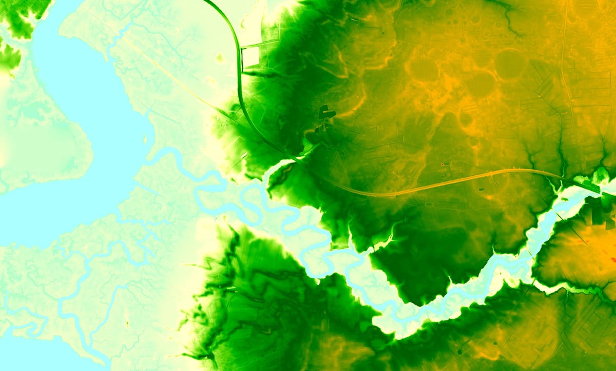
The ESRGC, partnered with DoIT deliver expanded access to and knowledge of Maryland's LiDAR resources. Through this partnership, the ESRGC obtains newly collected LiDAR data from vendors across the State and processes seamless DEMs and derivative products including shaded relief, hillshade, aspect, and slope. These products are available as services on the REST page and downloadable products on the MD iMAP portal. Point cloud data is also managed by the ESRGC and offered for large areas using MD iMAP dropbox and for smaller areas through the Maryland Statewide LiDAR Download Tool The ESRGC also develops LiDAR related training videos and pdfs for users of all skill levels and backgrounds.
Date Completed
Ongoing
Partners
- DoIT
Solutions
- LiDAR
- Elevation
- DEM
- Point Cloud
- GIS
- Data Visualization
- Mapping