Maryland Forest Inventory Resource Viewer
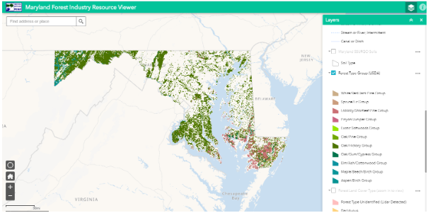
Developed to support identification of suitable and available forest for harvesting in Maryland. Data development included LiDAR, SSURGO soil, parcel, roadway, Land Use Land Cover, and USDA forest data. The tool offers a view of economic viability and potential markets in the Maryland Forestry industry. Area suitable for harvesting includes soil likely to support wet-weather logging, a canopy height of 40 to 120 feet, a total forested area of at least 5 acres, and within a parcel 0.25 miles of a road.
Date Completed
May 2020
Partners
- Maryland Department of Natural Resources Forest Service
- Western Maryland Resource Conservation & Development Council
- Maryland Department of Commerce
Solutions
- Web Map Application
- GIS
- Data Analytics