AgGIS Web Map
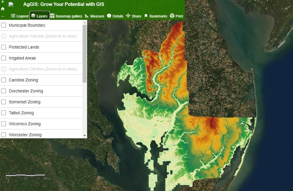
The AgGIS: Grow Your Potential with GIS web map provides one location for Maryland farmers in the Mid and Lower Eastern Shore Maryland Counties to view data layers related to agriculture. Previously, farmers visited several different websites to access and view the data available on this web map. The web map supports zoning, soils, elevation, slope, and imagery data to assist farmers with spatially related decision-making and agriculture operations and planning. The application also allows farmers to print maps for meetings or record keeping.
Date Completed
December 2017
Partners
- Mid-Shore Regional Council
- Tri County Council of the Lower Eastern Shore
Solutions
- GIS
- Web Mapping